So, here I have 3 DTMs (.tif format) to become one DEM first before I can make a Hillshade. Let’s review the process in Global Mapper and the ArcPro. Global Mapper Another great thing about Global Mapper – its rendering ability. Very often a large size raster would render way faster in Global Mapper … Read More
Posts
Connecting Survey123 Mobile Application to Enterprise Portal
Very basic description of custom connections in Survey123 app
Configuring Survey123 with Enterprise GIS

There are two ways to deploy Survey123 with Enterprise environment. Configure stand-alone website alongside the Enterprise environment Connect existing Survey123 website (https://survey123.arcgis.com) to Enterprise Portal Instructions below are for the second method. Make sure to install Survey123 in the enterprise system; Configure for cross-domain requests and reverse proxy; Go to https://survey123.arcgis.com and add portal address … Read More
U.S. Vessel Traffic Application from Living Atlas
Visually very appealing, but with few areas for improvement. First thing noticeable – inability to select several dates at once or a range of dates. There is no option to select several vessel types at once. Nautical boundaries visibility is scale based, but you have to zoom really close before you can see it. This … Read More
Symbology and Styles in ArcPro
Customizing ArcPro symbology for a long term use across multiple projects? This is a simple illustrated break down.
Early Days of North Slope Oil & Gas Fields

Introduction into North Slope operations
Geospatial Empowerment Tricks – Adobe Acrobat DC
Cultivating geospatial awareness in an organization could be a tricky task, depending who you ask. One of the most simple tactics to use – provide as many tools as you can with a geographical component inside, and then educate end-users about how to use those tools to their full potential. Most of the final product … Read More
Earliest Maps found in China
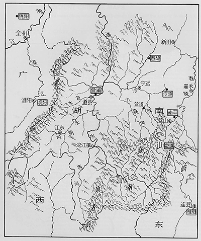
Trying to research on this subject since a lot of inventions first took place in China. A reference to a map can be found in the Volume 86 of the historical text Records of the Grand Historian (Shi Ji) (Wiki). This volume recorded an incident in 227 BC during the late Warring States period in which a map … Read More
The Mapmakers
Book “The Mapmakers” by John Noble Wilford is a must read for anybody interested in the cartography. Technology might me moving forward and introducing us to new ways to display geographical information thru our web browsers, but in my experience a good wall size map with interesting content gets people together, discussing, brainstorming. A good … Read More